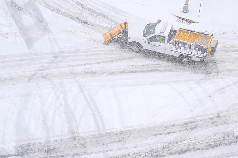
Latest Capital Region Snowfall Estimates For Winter Storm Kenan
Like every storm we have gotten this winter, our snowfall predictions have gone down, but we can still expect some accumulation to shovel on Saturday.
I love a couple good-sized snowfalls every winter, so count me as disappointed with our expected accumulations from winter storm Kenan tomorrow. Especially after early estimates were calling for as much as foot. As the course of this storm developed this week, it now looks like we will just get scraped here in the Capital Region by the edge of the storm.
That said, we are still expected to get a little bit of snow, especially in eastern parts of the Capital Region.
How Much Show Will We Get This Weekend?
It won't be enough to cause a crazy stir, but it will certainly be enough to get out and enjoy for some sledding and other winter fun! The latest snowfall estimates from the National Weather Service of Albany are calling from anywhere from 1 to 3 inches of snowfall in most of the Capital Region. Western areas will be on the lower end, with accumulations going up as you head towards Vermont and Massachusetts. You can see the various bands in the National Weather Service snowfall map below:
The brunt of this winter storm will be hitting New England, New York City and coastal areas - another just miss for us here in the Capital Region. Thankfully, we still have 6 weeks of winter left to finally the big snow winter lovers are hoping for. Lets keep our fingers crossed for some big snow ahead!
Capital Region Record Snowfall Totals December 2020
10 Largest Snowfalls On Record In Albany
The 12 Coldest Days On Record In Albany
More From 107.7 WGNA


![The Capital Region’s 10 Best Pizza Joints 2024 [RANKED]](http://townsquare.media/site/81/files/2024/02/attachment-Untitled-design-2024-02-22T110147.557.jpg?w=980&q=75)
![See The Capital Region’s 10 Best Chinese Restaurants [RANKED]](http://townsquare.media/site/81/files/2023/01/attachment-All-of-them-9.jpg?w=980&q=75)


