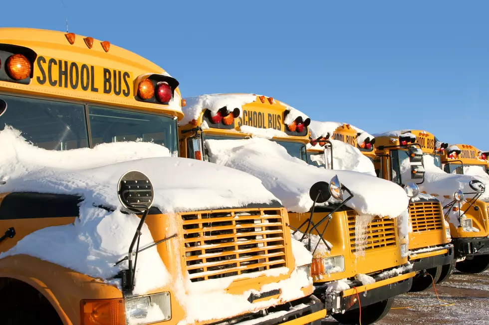
Good Sized Snowfall Predicted For Albany Saturday
After spring-like temperatures this past weekend, Old Man Winter has returned and it looks like he is bringing snow this Saturday.
* UPDATE Friday, January 17 at 6pm: Here is your latest snowfall predictions as we get ready for tomorrow evening's storm. According to the Weather Channel, it looks like the snow will start falling around 1 or 2pm tomorrow. There is a Winter Storm Watch in the Albany area tomorrow afternoon through Sunday morning about 4 to 6 inches of accumulation expected. In northern Saratoga County, Lake George and the Berkshires there is a Winter Storm Warning in for tomorrow with up to 9 inches of snow possible. *
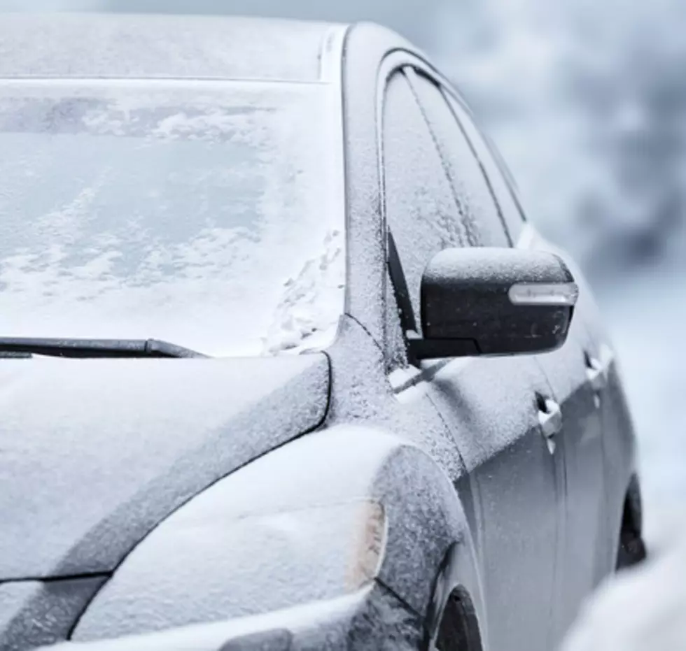
I hope you got outdoors and enjoyed the warm temps while we had them, because it seems our January warm up is officially over. After what seemed like a 40 degree temperature drop yesterday, winter is back and we have more snow in the forecast.
According to the Weather Channel, there is a pretty big storm moving across the country, bringing snow to northern areas including Upstate New York. Right now the local Weather Channel forecast is calling for up to 8 inches of snow accumulation this Saturday. That could change based on the final track of the storm, but it looks like after a dry-spell we will finally get more snow this weekend.
While the warm temps this past weekend were nice, we knew they would be short-lived and what was soon to come. I say we enjoy winter while it's here, knowing the mild weather we got the last few days is right around the corner.

More From 107.7 WGNA