We're going to keep you updated every time there is a change in information or new information about Sandy as she approaches the Albany area. Please keep checking back and refreshing the page to display the latest information.
Gov Cuomo has just announced that the Tappan Zee Bridge near New York City will close at 4PM today (10/29) due to the high winds associated with Sandy. If you're wondering about any possible bridge closings in the Albany area, New York State has a twitter account setup that will display information about bridges across the state. If you don't have Twitter, you can follow along here:
For Albany area residents there is a touch of a silver lining with Sandy as the National Weather Service in Albany has stated that we should see more wind rather than rain when Sandy hits late Monday and early Tuesday. Irene dumped around six inches of rain on the area but Sandy is expected to only bring between one and two inches.
With Sandy headed toward the Albany area, the Red Cross will be opening eleven shelters throughout the Albany area starting Monday, October 29, 2012. We have the list of shelters that has been announced thus far and some instructions for those seeking shelter.
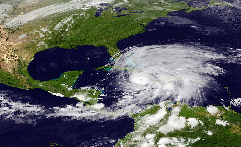
Wondering where Sandy is? For some folks they only need to look out the window to find her. If you're looking for some maps and up to the minute information, we have several resources for you to find that information.
As we well know from Irene, a hurricane (or it’s remnants) can be a very damaging and dangerous weather situation. We’ve been through this recently and as a community learned plenty of lessons. Here are some tips for being prepared for Sandy as she approaches the Albany area.
If you were planning on taking the Amtrak or Megabus to New York City from the Albany area, you'll have to cancel your plans. Both have suspended service at least through Tuesday the 30th of October and perhaps longer depending on what Sandy leaves behind.
Please be safe during this storm! We're here for you at 'GNA, by the way, with continuing updates on the air, here on our website, and through our free RadioPup app. But there are a couple of other apps that are crucial to have
There's been a lot of talk about a monster storm hitting the Northeast around Halloween. While some people are serious about the threat, others think it's just hysteria.
We reported yesterday that we could see a hurricane hit a cold front and merge with a Nor'easter thus producing a snowy hurricane. Good news - doesn't look like we'll be getting any snow. Bad news - it looks like we could see a great deal of rain and wind. We have the updated details and with Irene fresh on our minds, we're not looking forward to this storm.
So how does this happen? Bascially the hurricane comes up the coast and merges with a potent Arctic cold front over near the Great Lakes and then BAM - several inches of show with perhaps tropical storm winds. There could also be flooding along the coast of NYC and New England. In short, if this happens we will have a huge mess on our hands.