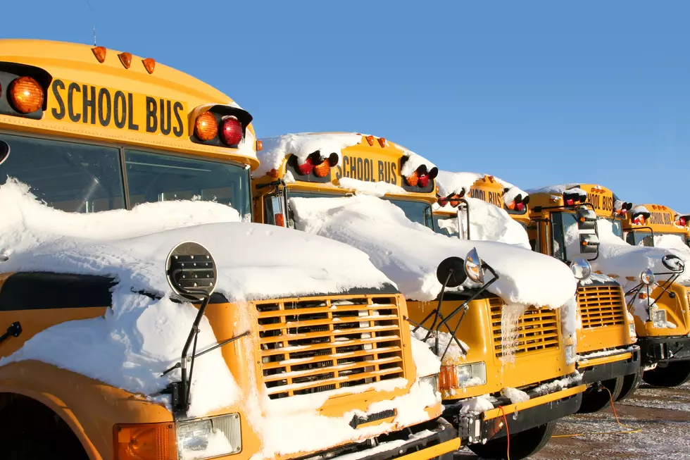
Ice Storm For Some & Winter Mix Hitting Upstate NY Today
Today's winter storm is bringing all kinds of precipitation depending on where you live.
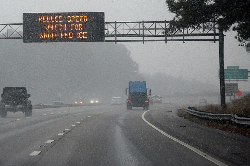
Now that we are hours away from this latest winter storm we have a little more clarity from the National Weather Service (NWS) on who will get what. This storm too looks it will stretch over a few days as the NWS has issued various weather alerts through Tuesday across the greater Capital Region. Among them is an ice storm warning for areas west of Albany.
As indicated in the NWS map below, we are looking at good amount of ice accumulating due to freezing rain in areas around Albany.
We can also expect a little snowfall in spots, as detailed in this map:
It is definitely not one size fits all for this storm, and you can get more details here which alerts are in place and what is expected in different areas of the Capital Region.
Regardless of where you live, it is going to be a slippery, and in some cases a pretty icy few days ahead. Be safe out there!

More From 107.7 WGNA