![Capital Region Snowfall Predictions Rising: Up to 2 Feet In Some Areas [MAP]](http://townsquare.media/site/81/files/2018/02/RS16142_526508067.jpg?w=980&q=75)
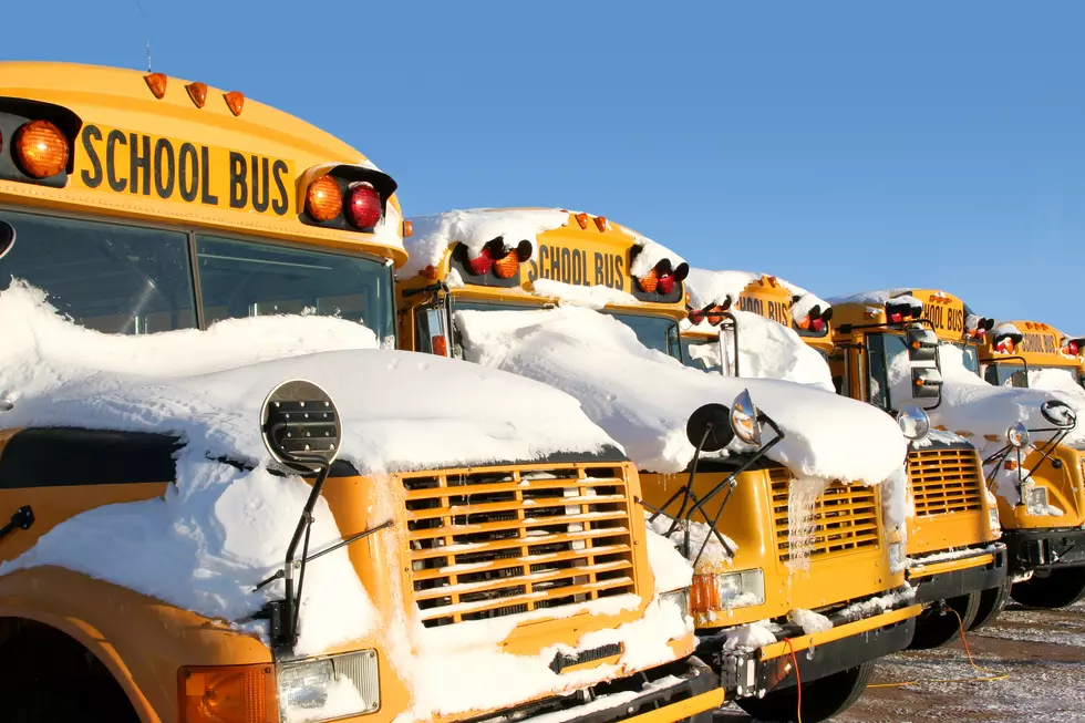
Capital Region Snowfall Predictions Rising: Up to 2 Feet In Some Areas [MAP]
We started at about a foot earlier this week, and now today's incoming storm could drop 2 feet of snow in parts of the Capital Region.
It looks like your Thanksgiving holiday weekend could be extended by a day. As we have gotten closer and closer to our first big snowfall of the season, the accumulation predictions just keep going up.
The National Weather Service (NWS) has now issued a Winter Storm Warning for today and tomorrow and raised their expected snowfall totals. They are now calling for 12 - 18 inches for most of the Capital Region, including Schenectady and Saratoga Springs. In Westerlo, Cobleskill and Canajoharie they are now calling for up to 2 feet of snow! Albany is still expected to get 8 - 12 inches. Here is the latest snowfall prediction map from the NWS:
The NWS forecast says the snow will get started this afternoon, with things lightening up tonight. Heavier snow will then return Monday with the storm finally tapering off Monday night.
At the rate we are going, we'll probably end up with 3 feet. Just kidding, but let's hope that doesn't happen! Either way, grab some rock salt, gas up the snow blower and get the GNA app on your phone so can listen while you clean up later today.

More From 107.7 WGNA