Albany Could See “Blockbuster” Snowstorm Next Week
We knew the first big snowstorm of the season was inevitable, and it looks like it's on the way next week.
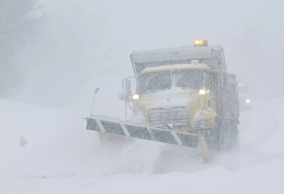
The odds are looking much better when it comes to having snow on the ground for a white Christmas! Accuweather is reporting everything could align for what they are calling a "blockbuster" snowstorm to move across Upstate New York next Wednesday, (December 16th) and Thursday (December 17th). Accuweather says they are still modeling where the tracking of this storm will exactly go, but right now signs are pointing to colder than normal temperatures next week coming together with some strong precipitation.
So now the big question: how much snow could we get? Accuweather says this storm could bring a foot or more of snow to the Capital Region and Upstate New York. This means if it stays cold enough, we could still have some snow on the ground for Christmas Eve and Day!
Besides the joy of having a white Christmas this year, maybe this storm could serve a few positive purposes. As we see coronavirus cases spiking here in New York, maybe this is exactly what we need right now to help slow the spread, even if it helps just a little bit. A foot of snow will be a great excuse provided by Mother Nature to stay home, hunkered down, and socially distanced for a few days.
We will keep an eye on this storm all weekend, and keep you posted with any updates. In the meantime, grab some rock salt, gas for the snowblower, and a few bottles of booze so you are winter ready next week.

10 largest snowfalls on record in Albany
More From 107.7 WGNA