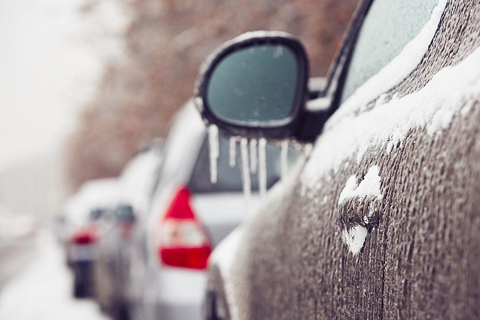
First Major Winter Storm Of 2014
It didn't take long for us to get the first major winter storm of the New Year!
According to News10ABC, here's the latest forecast details for January 2, 2014. As of now, it looks like the snow stays with us til our Friday morning commute.
"A WINTER STORM WARNING is in effect for the majority of our area with a WINTER WEATHER ADVISORY in effect for Northern Herkimer, Hamilton and Northern Warren counties until 10am Friday. A WIND CHILL WARNING goes into effect at 7pm tonight for Northern Herkimer, Hamilton and Northern Warren counties where wind chills overnight will be -20 to -40 degrees below zero!
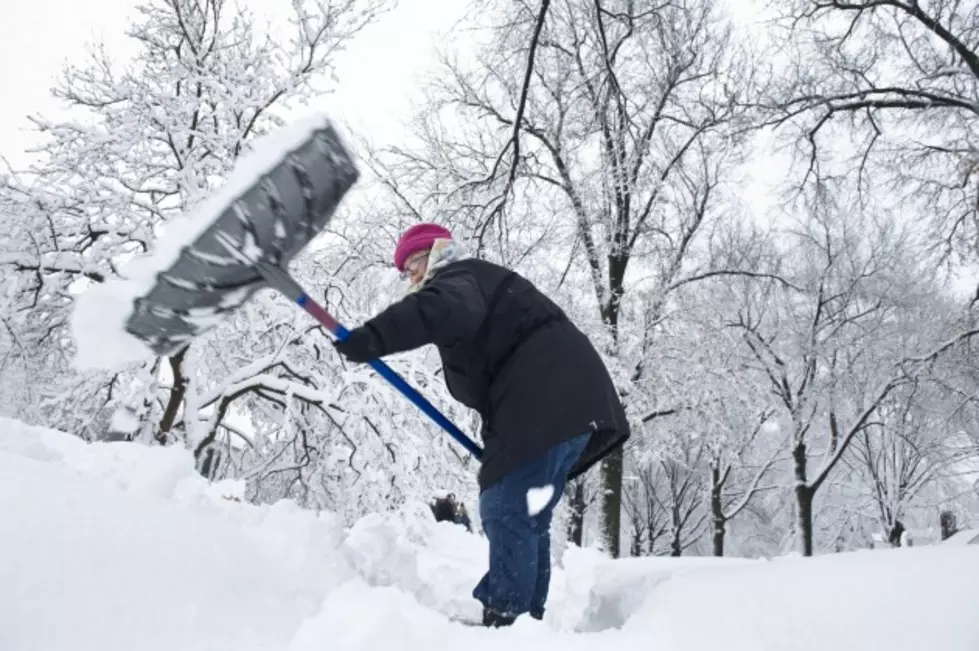
The snow will continue today right into Friday morning before ending by about 9 or 10am. By that time a general 10" - 15" inches of snow will be on the ground for most of us. The 15" amounts will mostly be confined to the higher elevations. Lower snow totals will be found up north in the Adirondacks where a general 5" - 10" inch snowfall will occur. The bitterly cold air will stay with us into Saturday with high temperatures on Friday not out of the single digits and Saturday morning lows dropping to around -10 degrees in the city to -20 degrees up north.
Another significant storm possibly looms for later Sunday into Monday morning with this storm bringing us more of a wintry mix. Another arctic blast follows this storm for Monday night into Tuesday."
More From 107.7 WGNA


![See Albany’s 10 Biggest Snowfalls Of All-Time [RANKED]](http://townsquare.media/site/81/files/2022/02/attachment-gettyimages-1256366276.jpg?w=980&q=75)