A class ring missing for more than 5 decades has been found in Upstate New York after the massive flooding. And even more miraculous, the owner has been found too, living several states away.
Mother Nature may have flooded parts of Upstate, New York but the communities are slowly returning to normal. There is one road connecting two towns that will stay closed for some time.
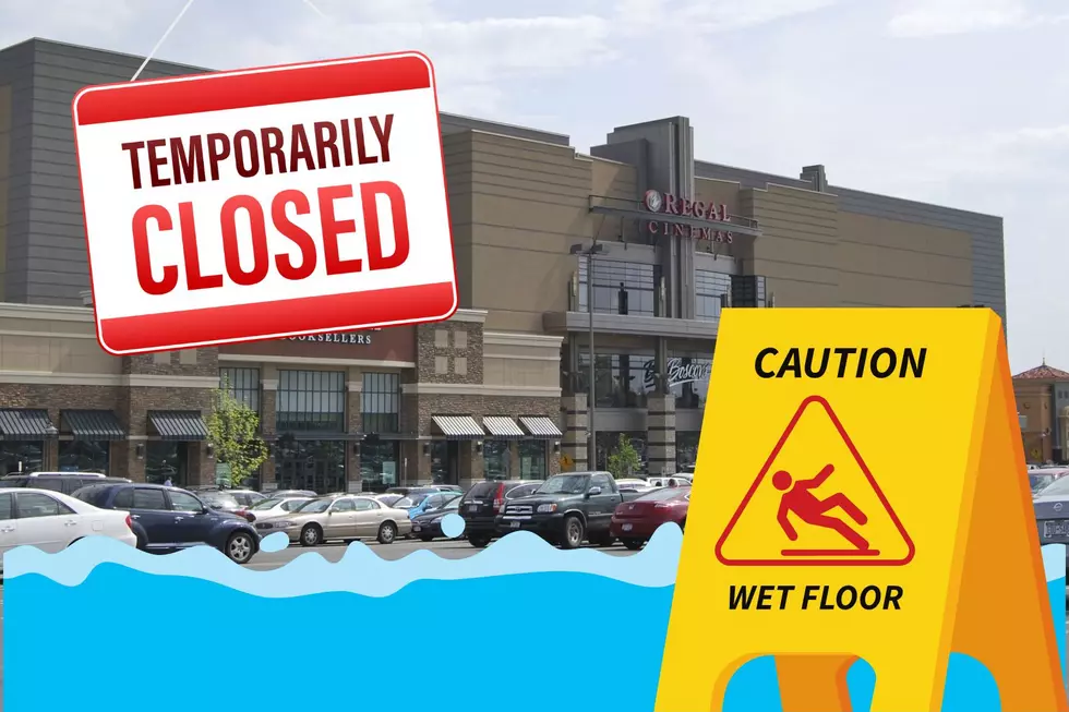
Hurricane Ida hit Louisiana and roared up the East Coast with a vengeance. New Yorkers usually don’t have to worry about the effects of hurricanes, but that certainly was not the case with Hurricane Ida.
Around 2pm this afternoon intense rain saturated roads throughout Albany and it while it may not have lasted for very long, many drivers were stranded and stuck in waters that rose up above their tires. Some people tried to power their way through it, while others simply didn't know what to do.
Depending on where you live in Schenectady, these warm temperatures could be pretty damaging to your house. You should join this notification system so you can be warned of potential dangers.


![Schenectady, Are You Signed Up for Emergency Alerts? [PHOTO]](http://townsquare.media/site/81/files/2012/01/Water-Main-Break.jpg?w=980&q=75)
