Our Chief Engineer Matt Shea was stuck in the middle of the Route 20 Flooding and took some awesome exclusive photos of the water ripping through the area. He also passed along this information. Be careful out there and watch for standing water on the roadways, you don't know how deep it is.
...
As predicted, Hurricane Sandy created one crazy night. Millions without power, explosions, flooding and at least 18 people dead. Don't let your braggedy friends on Facebook convince you this wasn't a big deal. It was crazy. Here are some pics to sum up what happened. Feel free to share your photos in the comments.
The photos flooding social media sites such as Twitter and Instagram as well as Facebook are just shocking to see. Lower Manhattan is flooding, the power is out in large parts of NYC as the city takes a beating from Sandy. Also Atlantic City and other cities along the east.
During and after Sandy hits the Albany area and the Capital Region, roads may close for various reasons including flooding, downed wires, and other emergencies. Bridges may also be closed due to high wings, flooding, large debris in the water, and other hazards. We have a map from 511 NY which has official information regarding roads and bridges. Check out the map before heading out - but try to k
New York DOT has an interactive map you can use to see what roads are currently open or closed - many roads are closed this morning because of flooding due to the remnants of Lee. Check the map before you head out on the roads!
Early today the evacuation for Rotterdam Junction and Pattersonville was voluntary but now officials have made it mandatory for · The south side of Main Street in Rotterdam Junction between the Rotterdam Junction Fire Department and Leggiero Lane, 1516 – 1600 Main Street, Ferry St., and Elm St. WTEN just Tweeted: 'Schenectady police say people in the Stockade and in areas near the Mohawk prone t
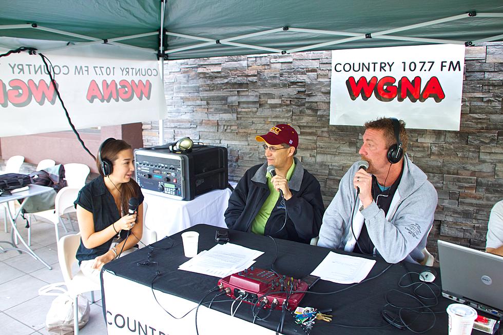
First and foremost we have to say THANK YOU to you, our dedicated and incredibly generous listeners. Without your dedication and support we would have never raised the $30,000 (and counting) for the Red Cross to use to help out victims of Irene in the Albany area and surrounding communities.
The Sean and Richie Show will ask the residents of the WGNA coverage area to help raise money for the American Red Cross of Northeastern New York to support relief efforts for area residents affected by Hurricane Irene.