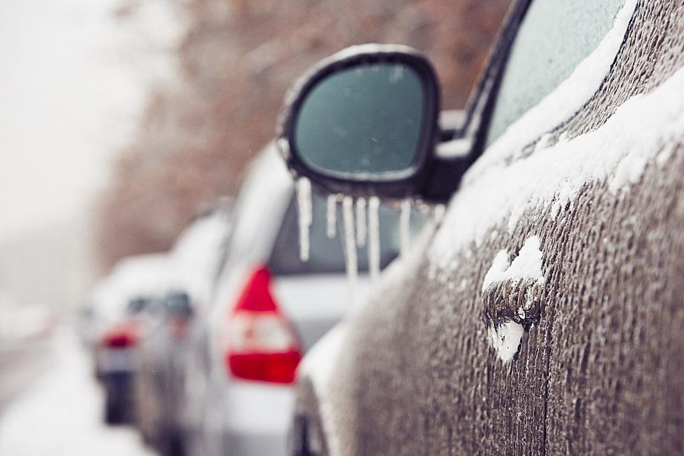
First Winter Storm Of 2012/2013 Season – Steve Caporizzo’s Update
As everyone prepares for the First Winter Storm of the 2012/2013 season, Steve Caporizzo has provided some more updates for Wednesday, December 26, 2012.
From Steve Caporizzo's Facebook page:
UPDATED WEATHER BRIEF....based on the new data that has come in...heading into work shortly......
WEATHER BRIEF 11:30am
WARNINGS
Winter Storm Warnings are in effect from 7pm this evening thru 7pm Thursday for all areas from the Capital Region North and west for heavy snow and a littler mixing on the south and east edge.
Winter Storm Watch south and east where the heavy snow will likely mix with/change some sleet and freezing rain/rain for as time very late tonight and Thursday…this will keep accumulations down a bit.
HIGH Wind Warning is in effect for Washington County and all the Higher Elevations East of the Hudson Valley, including western New England from this evening through Thursday Morning. East winds will increase 20-30mph with some gusts over 50mph. this may cause some scattered power outages, especially areas that have a slight ice buildup.
STORM
A powerful storm is now reforming over Eastern Virginia/NC. This will track up along the Mid Atlantic coast this afternoon and track over Central Long Island and over Cape Cod by Thursday Mid-Day. This is a classic track for a major N’easter in Upstate NY and Western New England…the only missing ingredient is we do not have Very cold air out in advance of this system
TIMING
Snow will break out between 6 and 8pm this evening. It will be moving up from the SSW…so areas south of Albany will get into it a couple of hours earlier…..the snow will quickly become steady and heavy through the night and towards daybreak the chance of mixing/changeover will occur from Albany south and east. There will be times, esp between 10pm and 5am where snowfall intensities will be 1-2” per hour…..a few spots could see 3” per hour, esp west of Albany. The Storm continues through most of Thursday….though light in the afternoon. Any areas that mix/change Thursday Morning will change back to a brief period of snow before ending.
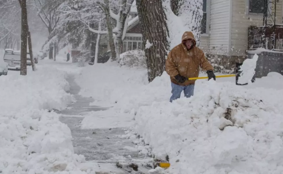
SNOWFALL ACCUMULATIONS
In General..all areas north and west of Albany will receive 10-15” of snow…..also the extreme Northern Berkshires into the Southern Green Mountains.
This includes: Gloversville, Amsterdam, Schoharie, Saratoga, Glens Falls, East of North Adams, Great Sacandaga Lake Area
From Selkirk North through the Capital Region….northward to just east of Saratoga-Western Washington County…Western Rutland and Western Bennington Counties (Shadowing effect from the mountains and slight warming), Central Berkshires…5”-10”
This includes: Albany, Clifton Park, Troy, Schenectady, Pittsfield, Bennington, N.Adams
Areas to the south and just east to the Taconics will pick up 2”-5” with a higher threat for more ice/mix/changeover. The Snow shadow and warming will likely extend to the Hudson Valley and just east all the way into Central and Southern Washington County. This includes Rensselaer County as well.
This includes Hudson/Kingston and the Extreme Southern Berkshire County/NW CT/Great Barrington/Lee MA,
HEAVIEST SNOWS
The East Slopes of the Adirondacks, Eastern Hamilton, NW Saratoga, Western Warren/Essex Counties…..The East Slopes of the Ext. Northern Berkshires and the Spine of the Green Mountains…..Florida MA/Wilmington VT….12”-18”. There is also a threat of 12”+ for the Northern Catskills and the Helderberg
More From 107.7 WGNA

![See Albany’s 10 Biggest Snowfalls Of All-Time [RANKED]](http://townsquare.media/site/81/files/2022/02/attachment-gettyimages-1256366276.jpg?w=980&q=75)