Extraordinary Northeast Hurricane Threat
According to chief meteorologist Steve Caporizzo, the Capital Region of New York should prepare for flooding and power outages when Hurricane Irene arrives on Sunday. In addition to Steve's warnings, Governor Andrew Cuomo has already declared a State of Emergency for New York.
A hurricane in the Northeast is rare, and many people are not sure what they should do, if anything. To help you better understand, Weatherchannel.com lists these important facts about why this is an extraordinary threat for everyone in the Northeast.
Irene is a hurricane that poses an extraordinary threat and is one that no one has yet experienced in North Carolina to the mid-Atlantic to the Northeast and New England.
There is historical precedence for a hurricane impacting the major metropolitan areas of the Mid-Atlantic and Northeast but these hurricanes are rare.
With a population explosion along coastal areas of the Northeast during the past several decades, a hurricane this strong hasn't affected the Northeast urban corridor for at least the past two decades.
Regardless of track and intensity, Hurricane Irene will cause extensive tree and power line damage. Electricity infrastructure will be greatly compromised for millions if not tens of millions of Americans.
It's already been a wet August in the Northeast. The wet soil from this soggy August will also heighten the concern for downed trees from strong winds.
Extent of water level rise (surge) for local bays, inlets and sounds is dependent on the local geography however suffice to say new high water marks could be set.
Recent heavy rains over parts of the Northeast, especially New Jersey, have made tree root systems highly vulnerable. Flooding rains combined with high winds will add to tree destruction. Flooding rains are inevitable due to excessive rain amounts.
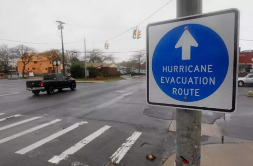
Severity of Irene's impacts are dependent on the final track. Your hurricane preparations should already be in action
Hurricane Irene is set to become one of the more destructive hurricanes to hit the East Coast in at least several decades. It all starts with Hurricane Irene's incredible wind field. As of Thursday evening, tropical storm-force winds were up to 430 miles wide. This is the distance from Baltimore to Portland, Maine. Hurricane Irene's tropical storm-force wind field is larger than both Hurricane Ike (2008) and Hurricane Katrina (2005) at maximum size!
Helpful Hurricane links
More From 107.7 WGNA
![Current Flooding in Waterford Reminded Me of When Hurricane Irene Hit [SEE VIDEO]](http://townsquare.media/site/81/files/2011/08/122380200.jpg?w=980&q=75)

![Sarah Goodrich From SALTrecovery.org [AUDIO]](http://townsquare.media/site/81/files/2012/10/Schoharie.jpg?w=980&q=75)